The purpose of this page is to present documents of interest to the geology community at large or to people who have an interest in the geology of Aberdeenshire and who would like guidance on what the region has to offer.
3D Virtual Models
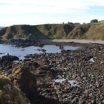
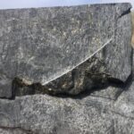
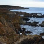
To start, we are providing access to four 3D virtual / digital models of the coastline either side of Stonehaven and at Portsoy. These models were developed by drone based photogrammetry, complemented with traditional field techniques undertaken by four Aberdeen university undergraduates who carried out the detailed mapping as part of their MSC dissertations. This integrated approached resulted in high resolution mapping. AGS helped sponsor this work which was presented in late 2023. Select Stonehaven or Portsoy to open their respective descriptions and links to the models from the V3Geo website.